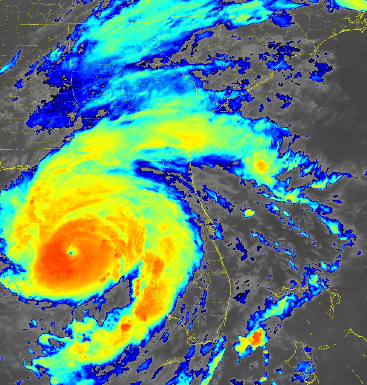
While city officials weren’t expecting the barrage of evacuees of years past, they did prep Augusta’s flood-prone roadways for localized flooding that accompanies most heavy rainfall.
The National Weather Service predicted up to a quarter-inch of rain Tuesday followed by up to three inches Wednesday at Augusta Regional Airport. Rain chances reached 100% at 11 a.m. Wednesday.
The forecast for Wednesday night called for winds up to 41 miles per hour and additional rainfall of up to four inches.
The weather service issued a flash flood watch for Richmond, Columbia and most area counties from Wednesday afternoon through Thursday afternoon. The heaviest rain was expected along and south of I-20.
Augusta Traffic Engineering is part of the Richmond County Emergency Management Agency group. City Traffic Engineer John Ussery said the division is taking steps in known problem areas.
“We stage barricades and barrels in certain areas,” Ussery said. “If we do get a large amount of rain in a short period of time, multiple crews will close roads and monitor things until the roads get passable.”
As long as they still has power, the division uses traffic cameras to monitor problem spots, he said. If the power goes out at major intersections, it will bring a generator to keep traffic signals operating.
East Augusta remains a problem area during heavy rainfall and the division has placed barricades and cones around low-lying areas, such as East Boundary Street at Laney-Walker Boulevard, he said.
Other problem areas include Sandbar Ferry Road and R.A. Dent Boulevard, he said.
Augusta no longer has agreements in place that sent 1,321 evacuees from Savannah to shelters in Richmond County schools during Hurricane Dorian in 2019, according to Fire Chief and EMA Director Antonio Burden.
During Hurricane Matthew in 2016, Chatham County evacuees joined thousands more self-evacuees who filled most of the area’s 7,000 hotel and motel rooms.


